
This year, I have the privilege of joining the Water Education Foundation as part of the inaugural Colorado River Water Leaders class. Our cohort will be thinking about river management after 2025 and the first order of business was joining WEF’s tour of the lower Colorado River. Over three days, we traveled south from the Hoover Dam to southern California, hopping between three states and Tribal lands and stopping to see major water projects, pumping infrastructure, irrigation districts, and wildlife habitat along the way.
Since joining the Water Hub, I’ve been listening, reading, and going to events about the Colorado River and I feel like I now know enough to grasp how much more there is to understand. Colorado River water runs through the taps in my home but I haven’t had much exposure to the river south of the Colorado state line. Hearing from speakers with the physical context of place was so helpful to ground new ideas and information. This photo essay won’t cover every stop, but I wanted to share a handful of images from the experience with our community.
There’s no denying the Hoover Dam is an impressive engineering feat. I found myself gawking at the size and scale while ruminating over the low water supply that define conversation along the Colorado. Over lunch, with a view of the exposed intake towers in Lake Mead, we heard from the Bureau of Reclamation about how climate change is heating up the Basin.
Traveling south, we picked up Fort Mojave Indian Tribe Chairman Williams. The Mojave are “The People by the River” and, as we drove through the Fort Mojave lands, Chairman Williams spoke to us about the Tribe’s agricultural production, plans to develop their water rights, and how Tribes in the Basin must be a respected voice at any table deciding the future of the Colorado River. Tribes hold roughly 20% of the water rights in the Colorado River Basin.
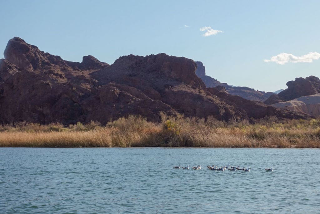
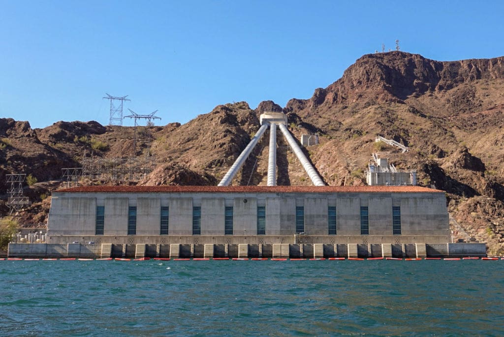
On day two, cruising through Topock Gorge and across Lake Havasu by boat allowed us to see both the national wildlife refuge and large-scale infrastructure like the Whitsett Pumping Station (below) from a different point of view. Formed by Parker Dam, Lake Havasu stores Colorado River water to pump into two main aqueducts — the Central Arizona Project and the California Aqueduct. The future hydrology of the river brings a lot of uncertainty to whether these projects can (or should) be able to run at full capacity.
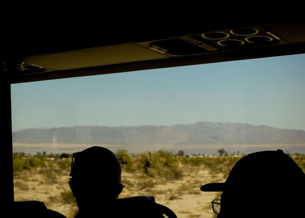
Leaving Lake Havasu, we began to criss-cross between the Arizona and California sides of the river stopping at irrigation infrastructure for the Palo Verde and Imperial Valley Irrigation Districts. Driving through the Sonoran Desert, I also got my first glimpse of Joshua Trees and Saguaro Cactus from the bus window. Couldn’t grab a good picture but they were thrilling to see!
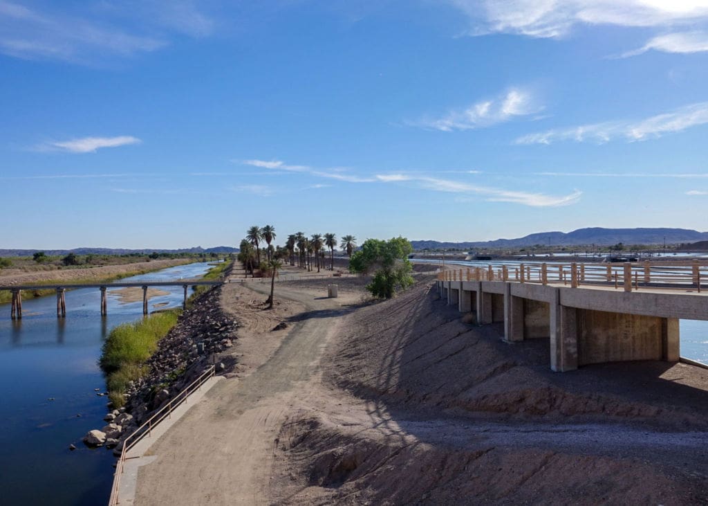
Built in the 1930s, the Imperial Dam diverts about 90% of what’s left of the Colorado River into the canals serving Southeastern California, Arizona, and Mexico. On day three, we followed the path of the All American Canal and visited agriculture sites in the Imperial Valley to learn about the on-farm water conservation programs, the canal lining project, and new automated technology for irrigation head gates.
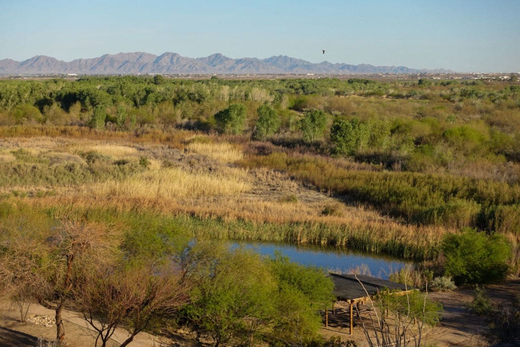
On our final day, we covered more agricultural areas in Southern California and the Salton Sea. While I’ve learned about the economic and environmental justice issues at the Salton Sea, I have to admit I didn’t totally understand the nuances here. Less water coming from agricultural drainage combined with hotter temps and increased evaporation means the water levels will continue to drop, increasing water salinity and exposing more playa.
Over the course of the afternoon, we heard from the Imperial Irrigation District, National Wildlife Refuge staff, the state of California, and the Salton Sea Authority about the challenges and needs to stabilize the area both as an important migratory bird habitat and also for local residents exposed to the dust and unhealthy air pollution.
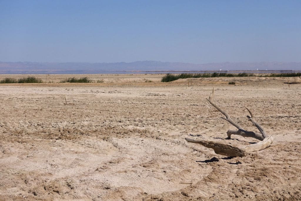
The Salton Sea is in the distant background.
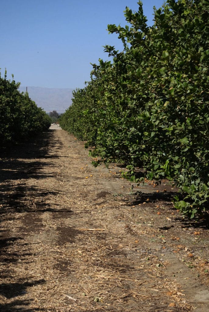
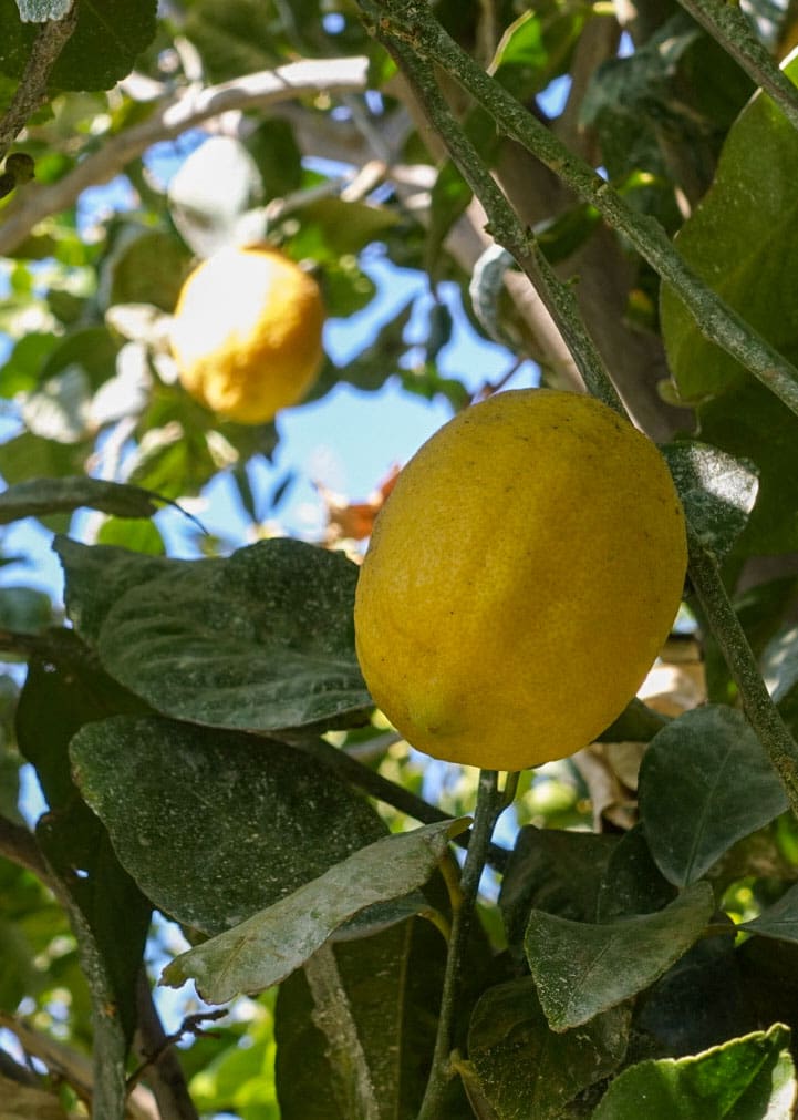
On our last stops of the tour, we looked at drip irrigation lines set up in this lemon orchard (below) as we listened to the Coachella Valley Water District. Agriculture makes up about 80% of Colorado River use and research shows there is still a long way we can go to make farming more efficient with the (shrinking supply of) water we have. It was interesting to see some of the best practices in action.
I tried to go into this tour with an open mind and, to be honest, I’m still processing what I learned and what I think it means for the future of the Colorado River and the West. I would be lying if I said I wasn’t worried about how it will all shake out, knowing that a hotter, drier future means there is going to be less water to go around. Cities, farms, fish, and all kinds of communities rely on the Colorado River, so we’re going to have to be thoughtful, equitable, and cooperative as we steward and manage the water. Thank you Water Education Foundation for a great tour!
To keep up with our team and get the latest communications resources, follow us on Twitter at @Water_Hub or sign up for our monthly-ish newsletter, the Water Cooler.